Autumn Newsletter
Carl Thomas2023-08-29T13:19:19+01:00A geographic information system (cartoGIS) is a system designed to capture, store, manipulate, analyse, manage, and present all types of spatial or geographical data.

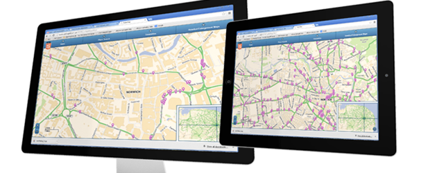
A geographic information system (cartoGIS) is a system designed to capture, store, manipulate, analyse, manage, and present all types of spatial or geographical data.