ABERDEEN COUNTY COUNCIL
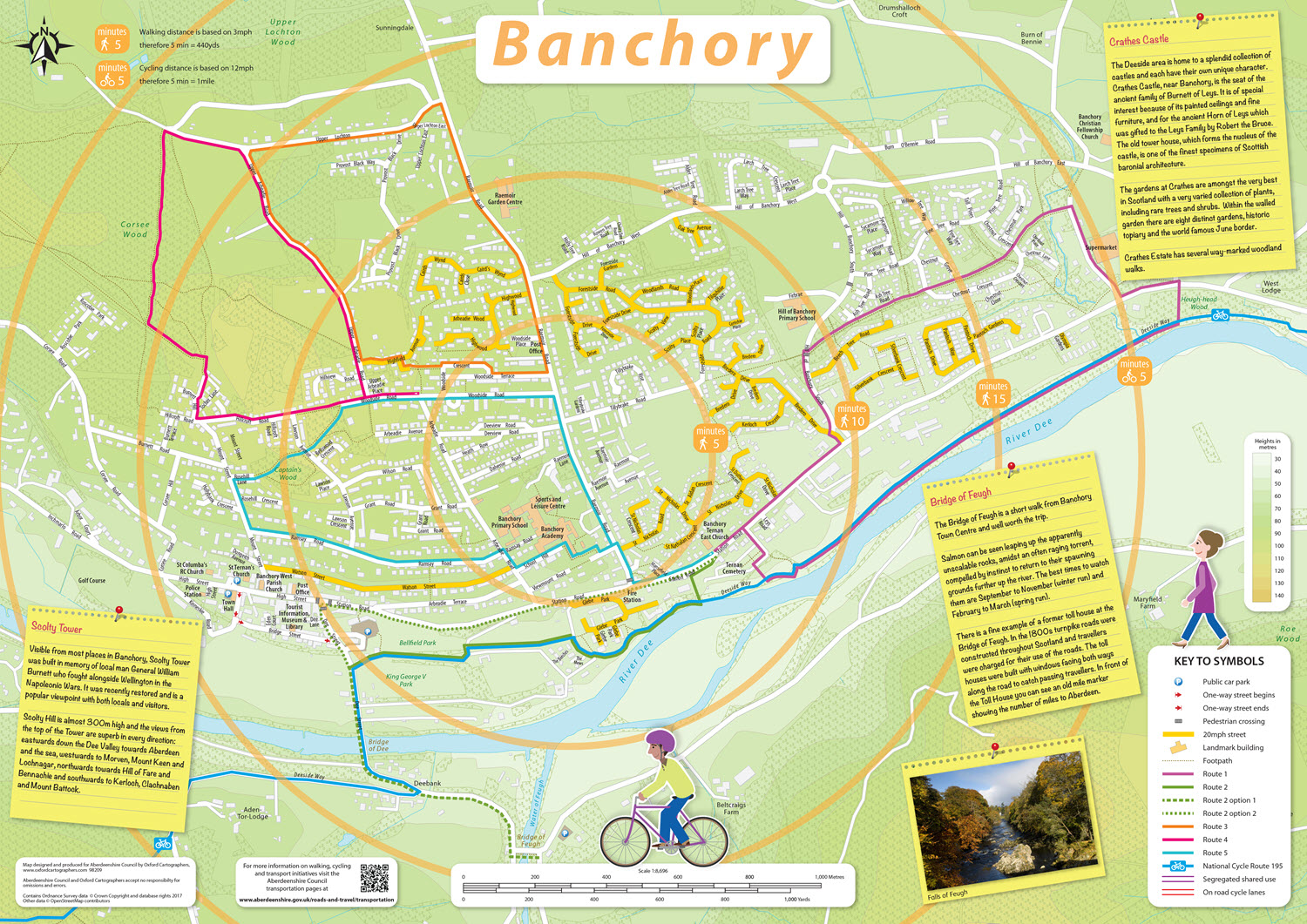
GetABout cycling and walking project
The Aim:-to encourage and support residents on their route to travel more sustainably and help them to choose the most appropriate way to travel at the time of their journey.
Smarter Choices Smarter Places provided Aberdeenshire Council with the opportunity to develop and deliver a comprehensive portfolio of sustainable transport promotion, particularly focussing on interventions encouraging behaviour change. Through the programme, Aberdeenshire Council aimed to encourage and support residents on their route to travel more sustainably and help them to choose the most appropriate way to travel at the time of their journey. Aberdeenshire Council want to promote the idea of being multimodal, making active travel a realistic alternative to the car particularly for short trips, or as part of a longer passenger transport based journey. Aberdeenshire’s cycling and walking maps had to be convertible and allow for interactive online use including a pan and zoom mapping functionality. For heightened user experience Aberdeenshire Council included links to external journey planners, such as Traveline Scotland, as well as to include the ability to advertise the maps by use of QR codes placed on signs and way markers en-route
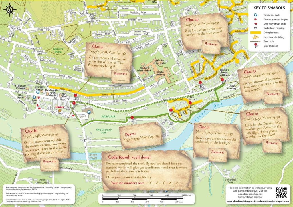
Oxford Cartographers are creating maps for printed use, online interactive (with the possibility of Connectpoint in the future). We also are now developing Treasure Trail maps for the same purpose. Click on the maps to view in more detail.